Maps for Newcastle and Gateshead
Find your way around NewcastleGateshead with our series of official maps, available for you to download with ease.
Find your way around NewcastleGateshead with our series of official maps, available for you to download with ease.
It is always handy to have a map with you when you’re visiting somewhere new. Find your way around NewcastleGateshead with our series of official maps, available for you to download with ease. Find out how to get around Newcastle, Gateshead and the wider Tyne and Wear region using our regional map of Tyne and Wear which is the ultimate map you'll need no matter whether you’re walking, cycling, travelling by bus or using the extensive Metro system.
Alternatively, you can scale each centre with ease using the NewcastleGateshead Map which will show you the best tourist attractions in the city. This can also be picked up from most hotels as well as Newcastle City Library, Gateshead Central Library and Newcastle Central Station.
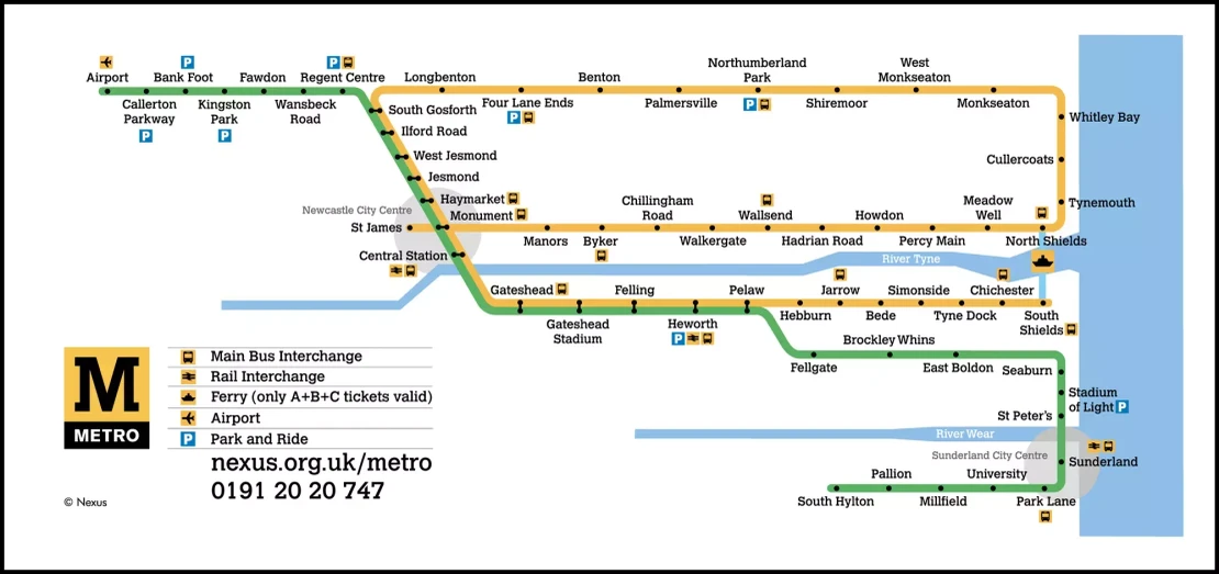
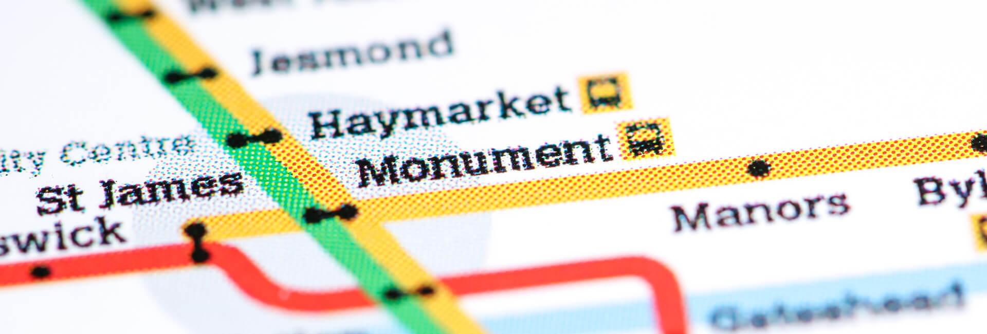
If you're in need of directions for travelling around Newcastle, you can download the Nexus Metro Map or Quayside Quaylink Bus Map to see which routes you'll need to take and which stops are serviced.
You can find inspiration on what to see and do while traveling round the area by visiting our Explore section. Here you'll find plenty of advice on getting the most out of your trip.
Getting around NewcastleGateshead by Metro is simple and great-value. Connecting the city centre with the rest of Tyne and Wear, international airport and coast, the Nexus Metro has been rated as one of the UK's most efficient rapid transport systems. We also have a useful page dedicated to the Nexus Metro Map here.
For further information on both Metro and bus services, call Traveline on 0870 608 2 608 or visit the Metro website.
This is a free map to help you get around central NewcastleGateshead.
Endless countryside and coastlines in your pocket.
Explore North East England with our FREE audio pocket guide.
Experience North East England has worked with leading tourism technology provider Vox to create the North East England Pocket Guide – an interactive, self-guiding audio tour of the region’s most famous landmarks, landscapes and points of interest.
Available in English, German and Dutch, the app provides visitors with local insider knowledge and fascinating facts about the region and encourage them to explore more of what the region has to offer.
The app is free to download and is available on iOS and Android here.
The North East England Pocket Guide is a free GPS-enabled audio travel companion featuring over 100 landmarks, attractions and places of interest across the region.
Visitors can use an interactive map to discover exciting locations and enjoy audio stories which will automatically play when they arrive near a point of interest.
Getting around NewcastleGateshead or travelling out to Sunderland and the coast couldn't be simpler with this handy regional map of Tyne and Wear complete with train and metro stations, park & ride, bus interchanges and local ferry points.
Getting around Newcastle has never been easier! Go North East QuayCity buses offer a low-emission, high-frequency, accessible and easy-to-use service, and are the best way to get around central NewcastleGateshead. Routes connect the attractions and sights of Newcastle Quayside, the city centre, Jesmond, Gosforth and beyond.
Find out more information on the Go North East website.
NewcastleGateshead is ready to be discovered! Public transport - whether by bus, metro or train...
The journey to Newcastle with London North Eastern Railway (LNER) is worth every minute, whether...
Are you planning a trip to NewcastleGateshead?
Submitting your information...
Subscribe and be the first to know what’s on in NewcastleGateshead. Receive regular emails with highlights of the best things to do in the North East, straight to your inbox.